Now you see it?
Harnessing real-time imagery, AI and analytics for smarter event response
As insurers look for ways to enhance their ability to respond to natural disasters, the availability of real-time high-resolution imagery of properties throughout the U.S. is proving to be a game-changer for carrier property claim adjustment and customer service.
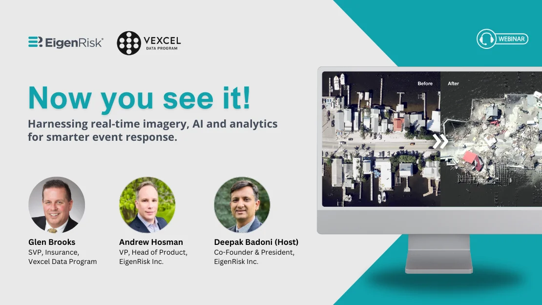
In a recent webinar, Glen Brooks, senior vice president, Insurance, Vexcel Data Program joined Deepak Badoni, co-founder and president, EigenRisk, Inc., and Andy Hosman, vice president and head of Product to describe Vexcel’s pre- and post-event-imagery resources, which can be readily accessed and integrated with underwriter portfolios through the EigenPrism catastrophe risk management platform.
According to Brooks, Vexcel operates 100 aircraft in the U.S. Equipped with high-resolution cameras, Vexcel’s fleet operates from seven regional centers and can be deployed anywhere in the U.S. within a 2- to 3-hour window. Post-event imagery captured is instantly shipped to Vexcel’s data science team to be quickly processed and made available to customers.
Actionable Data: Pre- and Post-Event Imagery Enable Carrier to Pinpoint Damage
In addition to what Vexcel describes as its “Gray Sky” or post-event imagery collection capabilities, Brooks said the company deploys its aircraft throughout the U.S. to capture high-resolution imagery of more than 127 million properties across the U.S. throughout the year. These “Blue Sky” capabilities encompass three different data collection programs:
- Urban prime, which involves flying over major urban centers across the U.S. every year with ortho-mosaic (top-down) and oblique (45-degree angle) views that offer 7.5cm resolution. The 45-degree views are generated from four directions – north, south, east, and west – which can be rotated to examine a property from different angles.
- Urban refresh, which involves a second flyover of urban centers. These top-down-only views are also 7.5cm resolution. The two views of properties in every U.S. urban center are captured at different times of the year, providing leaf-on and leaf-off views of surrounding vegetation to facilitate property underwriting decision-making.
- Wide-area collect, which provides expanded geographic coverage with 15cm – 20cm resolution coast to coast with an 18- to 24-month cycle.
Vexcel’s imagery collection operates in 49 states in the U.S. except Alaska. Brooks said the combination of the different flyovers can provide three high-resolution views of 99.6 percent of properties in the U.S.
Meta Data and Multi-Spectral Capabilities
During the flyovers, Vexcel also collects metadata and uses multi-spectral (infrared) capabilities to classify surrounding vegetation for potential fire and wildfire risk. Digital surface and terrain models support the calculation of flooding or flood risk, building elevation, roof and tree height for areas around properties. Positional accuracy is achieved by matching imagery captured to 17,000 ground points across the U.S.
Brooks noted Vexcel’s flight operations team follows a playbook with optimal times to collect imagery based such facts as sun angle, cloud cover, fog, and smoke (post wildfire). All imagery is time-stamped to facilitate pre- and post-event comparisons.
He demonstrated how Vexcel’s imagery captured through the fixed-wing flyovers offers superior resolution in comparison to satellites and pointed out that Vexcel delivers analytics on more than 40 property attributes. This enables claim executives to generate detailed post-event loss estimates without the need for feet on the ground.
Vexcel’s team monitors weather events around the globe, keeps customers informed of developing events and provides imagery within 24 hours of wheels down.
Brooks also walked through a case study of Hurricane Ian. Vexcel’s ortho-mosaic and oblique imagery facilitated damage assessment on 3.6 million properties, encompassing more than 44 percent of the state of Florida. They also flew over Miami/Dade, which wasn’t directly affected by the event to identify fraudulent claims. Vexcel also generates a “Cat Score” by property with a 0 – 100 range, with zero indicating no damage and 100, a total loss.
Accessing Vexcel on the EigenRisk Platform
Andy Hosman explained how Vexcel’s data can be accessed on the EigenRisk platform and demonstrated how the platform can be used to obtain before and after views for any property and any event. For example, he showed views of properties affected by the Gray Wildfire in Washington State, comparing the Blue Sky (pre-event) view with the Gray Sky (post-event) view.
Andy announced the availability of Vexcel’s Blue Sky and Gray Sky imagery for analysis and reports, including the ability to access before and after views of individual properties or wide areas. He added that EigenRisk will also include Vexcel’s oblique and 45-degree views of those properties from all four directions – north, south, east and west. Subsequently, beginning in the fourth quarter of 2024, EigenRisk will integrate attributes and damage assessments by individual properties and buildings.
Worldwide resource. In addition to Vexcel’s extensive U.S. capabilities, Brooks said the company is expanding its activity in Canada. The company also operates the Geo-Spatial Insurance Consortium, which provides insurance markets imagery collection capabilities in more than 40 countries around the world.
Want to learn more?
To access the webinar, click here. To learn more about Vexcel’s high-resolution pre- and post-loss property imagery capabilities on the EigenRisk platform, please contact us: