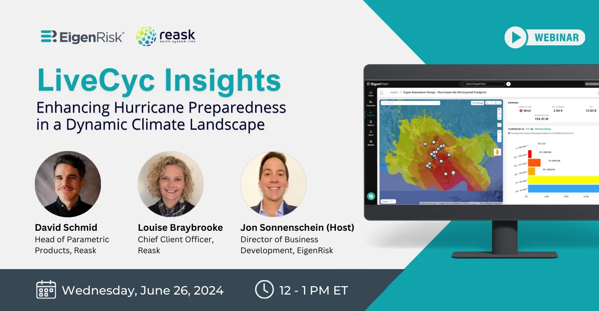
Enhancing Hurricane Preparedness in a Dynamic Climate Landscape
With predictions of an “above active” 2024 Atlantic Hurricane season receiving an immediate validation in late June as Hurricane Beryl became the earliest Category 5 storm to form in the Caribbean, it’s clear the risks this year are both real and potentially significant.
Risk managers, brokers, property insurance underwriters, claims executives and recovery companies all must make sure their respective organizations are adequately prepared for the potential of one or more large-scale events affecting their property portfolios this year.
A new EigenRisk webinar featuring Reask executives David Schmid, head of Parametric Products, Reask and Louise Braybrooke, chief client officer, as well as Jon Sonnenschein, director of Business Development, EigenRisk discusses the 2024 Atlantic hurricane season and new resources available to help risk, insurance and recovery professionals prepare for and manage storm-related exposures faster and more effectively.
In assessing current environmental factors Schmid observed that the ocean is storing 90 percent of excess energy caused by greenhouse gas emissions, which helps explain the marked increase in storm activity during the past 30 years. He added that ocean heat is also increasing sea surface temperature (SST), an important component of seasonal tropical storm activity, although not the only one.
Schmid noted that the ocean temperatures present at the start of the current hurricane season ordinarily occur at the peak of the hurricane season in normal years. He said the main drivers for tropical cyclone (TC) activity include:
- Sea Surface Temperature (SST): Higher SSTs provide energy for hurricanes, adding to their development and intensification.
- Wind Shear: Lower wind shear is conducive to hurricane development and intensification (typically during La Nina).
- Steering Flow: This factor determines the storm track’s path, such as whether it makes landfall, and the hurricane’s speed, which is particularly significant with respect to heavy rainfall.
- Sea Level Pressure (SLP): Lower SLP typically indicates stormy weather.
Schmid also cited NOAA’s 2024 Atlantic Hurricane Season Outlook, which projected the following:
- Between 17-25 named storms versus 14.4 average between 1991-2020.
- Between 8-13 hurricanes versus an average of 7.2 between 1991-2020.
- Four to seven major hurricanes, versus an average of 3.2 between 1991-2020.
Past vs. Present: Few Comparisons to the 2024 Forecast
Schmid observed that in the past, there have been six seasons dating back to 1878 with hurricane activity resembling that predicted for 2024. (Note: figures compiled in the earlier years may not have included storms in the Atlantic Ocean that didn’t make landfall.)
That said, in terms of activity and climate, only two previous hurricane seasons – 2010 and 2020 – resemble the current season. In 2010, there were no landfall events as much of the storm activity occurred well out in the Atlantic Ocean and distant from the coastline, Schmid added. However, in 2020 there were six landfall events; that year, there was much higher storm activity in the Gulf of Mexico where storms are likely to make landfall.
Reask Stochastic Hurricane Modeling
Reask conditions its stochastic event sets based on the climate predicted for each hurricane season. They can translate the ECMWF forecast into a state level, location level or state-county level. In addition to providing a seasonal forecast for 2024, they can also provide predictions for the next five years.
Given the predictions, Braybrooke said that Reask’s models give users the ability to look at similar years in the past, see what happened in those years, and which accounts were impacted. They can identify where there may be gaps in information and how they might improve their process.
Even when risk and insurance planning and claims executives have a robust understanding of potential storm activity and tracks of specific hurricanes and tropical cyclones, they still may have difficulty generating accurate loss estimates.
EigenRisk’s Sonnenschein listed several key challenges for generating accurate loss estimates, including:
- Bad or incorrect underlying address/location data, which might put the location in or out of a specific wind-speed zone.
- Incomplete catastrophe event data.
- Low-granularity catastrophe event data.
- Limited or lacking financial model, looking at total insured value (TIV) rather than true exposures.
- Disparate systems, proliferation of tools with information left behind.
He also mentioned that the process of creating loss estimates can be time-consuming without the benefit of automation and modern capabilities. Those using the disparate systems that often result from siloed approaches may take days to figure out their actual losses. On the other hand, with EigenRisk and Reask users can avoid delays and address any issues head on.
LiveCyc- Pre-Landfall Forecast
LiveCyc, Reask’s pre-landfall data solution, can provide windspeeds with one-kilometer by one-kilometer resolution up to 72 hours before landfall.
Braybrooke said that Reask monitors meteorological agencies, such as NOAA and JTWC. When landfall is likely, Reask produces a sample of up to 1,000 probable tropical cyclones and augments that data by generating 1,000 wind fields at one-kilometer by one-kilometer resolution. Reask also provides footprints 48 and 24 hours in advance of landfall with the spread of the tracks decreasing as the storm approaches landfall. At landfall, Reask can provide full track information within 24 hours using their Metryc product.
Insurers accessing the Reask capabilities in EigenRisk can use this information to set underwriting moratoriums as well as determine direction of the storm and where their claims adjusters need to be and get them primed for deployment. They can also determine whether a storm might impact their portfolio and reinsurance program.
At the same time, Braybrooke noted that risk managers with valuable assets at a vulnerable site can use the forecasts to relocate them for operational resiliency. They can also identify which of their insurance policies might be at risk.
Sonnenschein explained how users can set up alerts according to their locations stored in the EigenRisk platform, specific individuals to be notified and different thresholds captured from Reask projections of unfolding storms. He then demonstrated the use of EigenRisk’s platform with Reask based on Hurricane Ida, which made landfall in New Orleans in 2021.
Specifically, he showed how the Reask models were used to assess portfolio exposures beginning three days prior to landfall through post event assessment. He also discussed how different views were used to pinpoint locations with the greatest pre-landfall exposures and highest post-landfall impact.
Want to learn more?
To access the webinar, click here. To learn more about Reask’s LiveCyc forecast capabilities on the EigenRisk platform, please contact us: