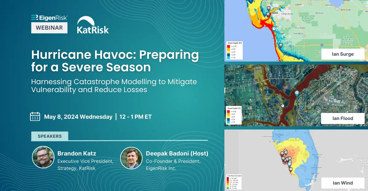
Hurricane Havoc: Preparing for a Severe Season
Harnessing Catastrophe Modeling to Mitigate Vulnerability and Reduce Losses
As insurers, risk managers and brokers continue planning for the 2024 Atlantic Hurricane season, EigenRisk presented a webinar with KatRisk to discuss how new developments in catastrophe modelling can help them prepare for, monitor and manage hurricane exposures.
The webinar, hosted by Deepak Badoni, president, EigenRisk with Brandon Katz, executive vice president of Strategy at KatRisk, began with a discussion of the latest projections for the 2024 season. Katz pointed out that the 2024 season is predicted to be worse than the average hurricane year given heated ocean temperatures and significantly less vertical wind shear to modulate potential storms.
He recalled that Phil Klotzbach, a senior research scientist at the Department of Atmospheric Science of the Colorado State University, recently predicted the season will include 23 named storms, 11 hurricanes, and five major hurricanes (Category 3, 4 or 5).
Significantly, Katz mentioned that probabilities for at least one major hurricane along the U.S. Eastern Coastal region are above average in all areas other than Florida’s Gulf Coast. Specifically, projections indicate a 62 percent chance of a hurricane making landfall anywhere in the U.S. (versus 43 percent average).
Along the U.S. East Coast, including peninsular Florida, there’s a 34 percent of a major hurricane, well above the 21 percent average. Meanwhile, the major storm projection for the Gulf Coast from the Florida Panhandle is 42 percent, below the average of 47 percent.
Analyses conducted by Steve Bowen of Gallagher Re compare the potential impacts of various climatic conditions on the hurricane season. Notably, in some cases, La Niña can create outsized increases in storms and losses compared to El Niño and Neutral seasons. Today, many of the latest hurricane models can examine loss differences and percentage change in comparing the different climatic states.
Katz also warned viewers to beware of the shortcoming of traditional storm models, including:
- Reliance on historical data: Unfortunately, what happened in the past isn’t necessarily going to be predictive of what will happen in the future, especially given that our historical record isn’t particularly long for a lot of places.
- Limited ability for customization: Even though some insurers may have 150 years of loss history, individual carriers need the ability to input their own information and view the risk in ways that provide the insights needed for making critical decisions with respect to their individual risk portfolios.
- Inability to account for climate variability: Insurers and risk executives may want the ability to run projections based specifically on seasons occurring during El Niño versus La Niña years to examine different loss perspectives that will be more relevant to the current year.
- Slow platforms lacking critical functionality: Insurers need to the ability to quickly identify higher versus lower risk locations to have better assessments of their exposure profiles and make decisions on risks they want to take or forgo.
- Insufficient transparency: Modeling firms need to be open and honest about areas where their hazard maps are more robust or less effective.
- Weak financial modelling capabilities: While hurricane models can help insurers and other uses understand the hazard, it’s difficult to translate that data into financial loss. Insurers need tools that include strong financial models and vulnerability curves.
- Complex installation: Insurers need to determine whether they want a turnkey solution that can be up and running quickly or one with a longer implementation process that requires the involvement of their IT department.
According to Katz, in estimating hurricane losses, insurers, brokers and risk executives need solutions that provide robust modelling of inland flood, storm surge and wind with sustained speed and gusts. These capabilities are critical for pre-event forecasting for timely disaster planning and crisis management, near real-time event monitoring, and post-event footprints for effective response and claims management.
Furthermore, he warned those using different models (or providers) for each hurricane impact (e.g., inland flooding, storm surge and wind) as they may duplicate the impact on a specific property and could conceivably double count the loss.
Inflationary Data vs. Demand Surge
When two events occur in the same location within days or weeks of each other, the second event is typically more costly than second event because of the inflationary impact of demand surge, Katz explained. While the input from a client using a model may adjust for currency inflation, there also needs to be an adjustment for inflation due to demand surge. With respect to event modeling, this is important from a probabilistic perspective as well as from an event response perspective.
In evaluating catastrophe models, Katz said insurers and other users should carefully assess the differences in their capabilities. For instance, during a storm, vendors relying on satellite telemetry might have their satellites out of position or atmospheric conditions, such as cloud cover might cause them to miss the peak of the flood.
By contrast, KatRisk models on a physics basis so its projections aren’t affected by cloud or satellite positions. While some modelers may use similar stochastic events to determine footprints of a current event, they are subject to error. Instead, KatRisk uses actual precipitation data, forecasts and storm data from NOAA to develop its storm footprints.
Katz explained that KatRisk has created an economic exposures database (EED) of every insurable building in the U.S. and uses a combination of data from FEMA and other data sources for exposure assessment. The provider also uses other hazard data sources from the U.S. Army Corps of Engineers and Federal Insurance Association and modifies them based on actual observations.
Badoni showed that EigenRisk has all KatRisk data layers on its platform for data augmentation with different wind speeds, which can be combined with valuation data sets from other providers to get the full picture of their catastrophe risk. This includes the ability to assess exposures in high catastrophe risk zones that aren’t designated as FEMA flood risk zones.
He then demonstrated “one of the most sophisticated use cases” on the EigenRisk platform, which enables insurers to evaluate their exposure by state or county and within different hazard zones, giving them insights about where their exposure may be growing.
Founded in 2012, KatRisk has 120 years of collective catastrophe experience; its models span 190 countries. The company is currently adding capabilities for hurricane risk in Canada as well as climate change modelling in the EC driven by the Intergovernmental Panel on Climate Change (IPCC) future climate scenarios.
Want to learn more?
To access the webinar, click here. To learn more about KatRisk hurricane modeling capabilities on the EigenRisk platform, please contact us: